TxDOT Knapp Lake Dam
Hydraulic analysis in the name of resilience
Project Purpose
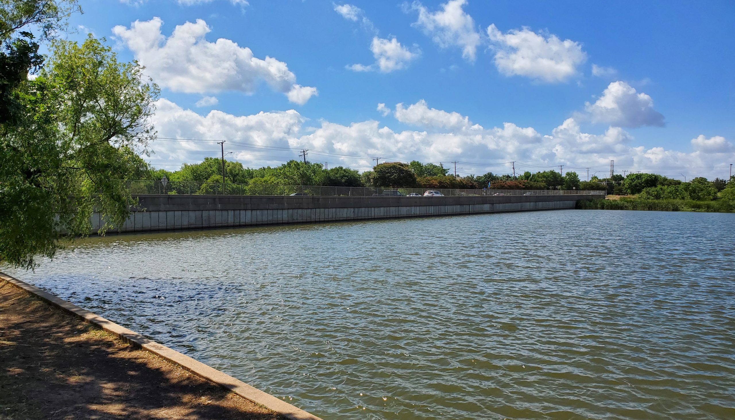
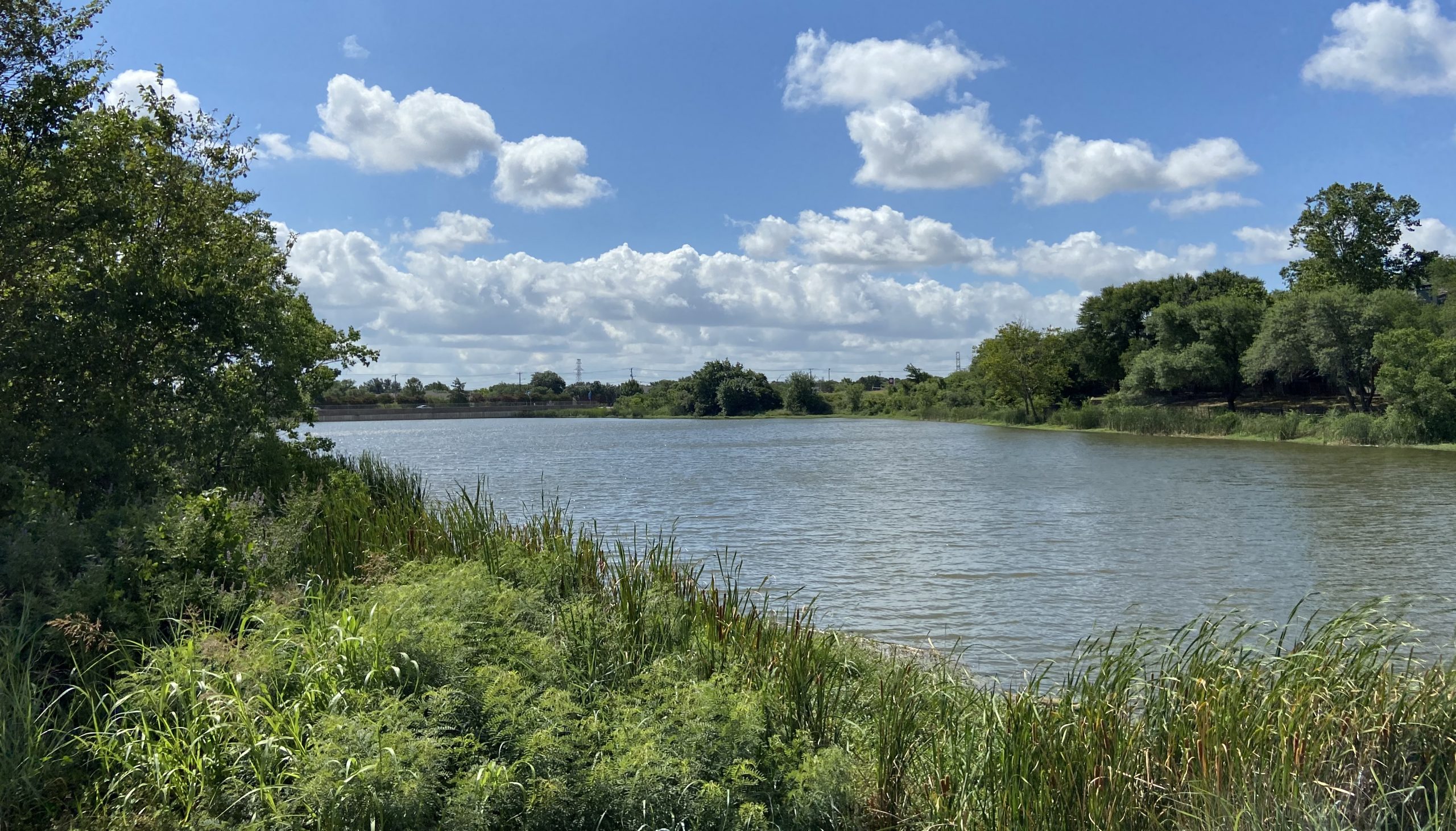
Knapp Lake Dam is the only high-hazard dam owned and managed by the Texas Department of Transportation (TxDOT). The dam is located at the confluence of Unnamed Tributary and Tributary B to Big Fossil Creek at FM 377 just south of IH 820. Most of the Knapp Lake Dam embankment is the FM 377 roadway and consists of an earthen embankment with prestressed concrete sheet pilings facing the lake.
The purpose of this project was to develop documentation required by the Texas Commission on Environmental Quality (TCEQ) for dam safety protocols, including information for dam maintenance, inspections, and emergency provisions.
Project Approach
As a subconsultant, KFA performed hydraulic modeling and analysis to develop necessary documentation for the dam, including a Dam Breach Report, Operation and Maintenance Plan, and Emergency Action Plan. Hydrologic modeling and analysis were performed by the prime consultant.
Our hydraulic analysis included Knapp Lake Dam and the Knapp Lake Tributary. The model extents include the reservoir flood pool, dam crest and principal spillway, and the receiving waterways. We modeled the following:
- 3,000 feet of Knapp Lake Tributary, from Knapp Lake to Big Fossil Creek
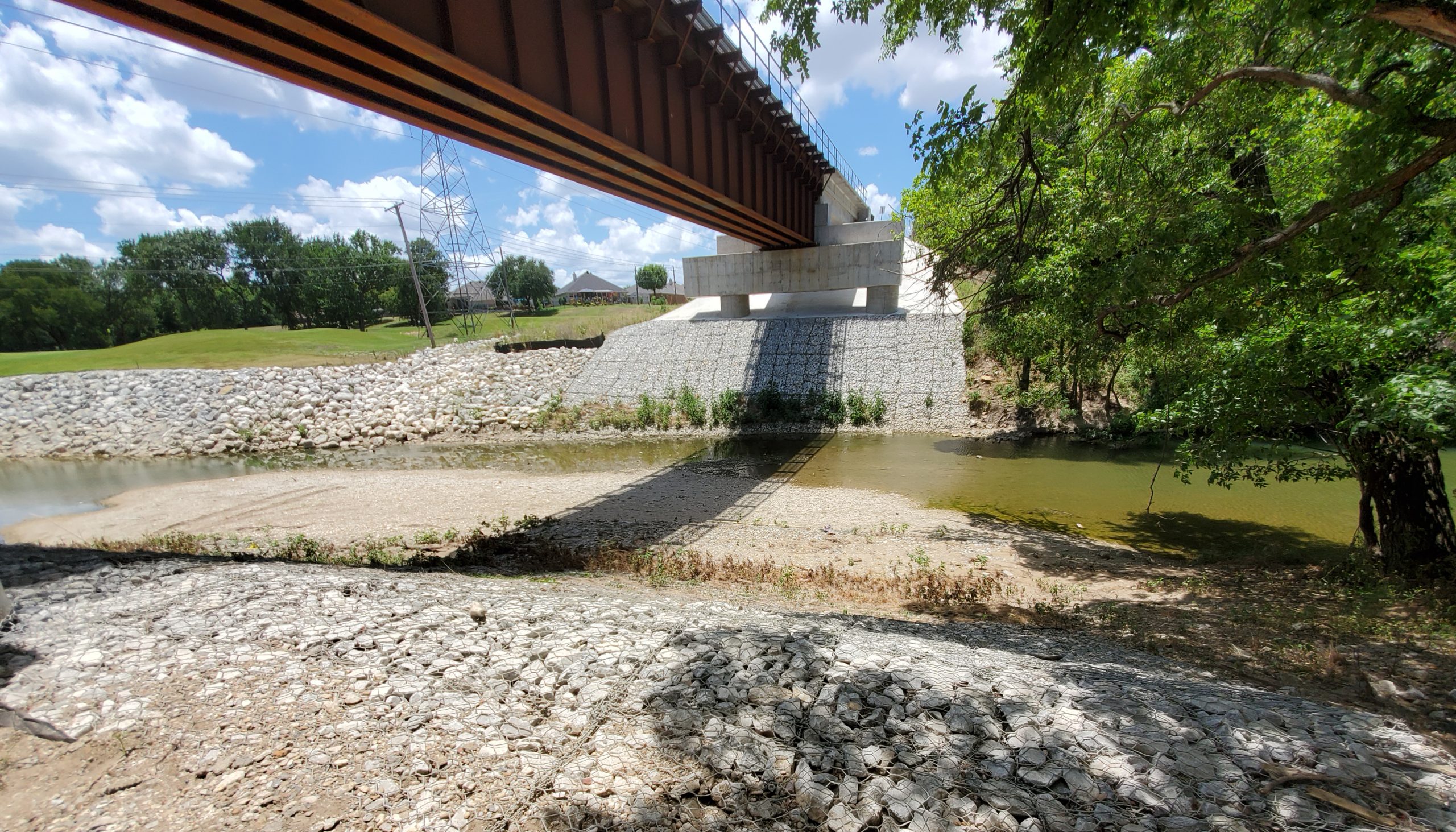
- 2,500 feet of Big Fossil Creek, from IH 820 to 1,000 feet downstream of the Union Pacific Railroad crossing
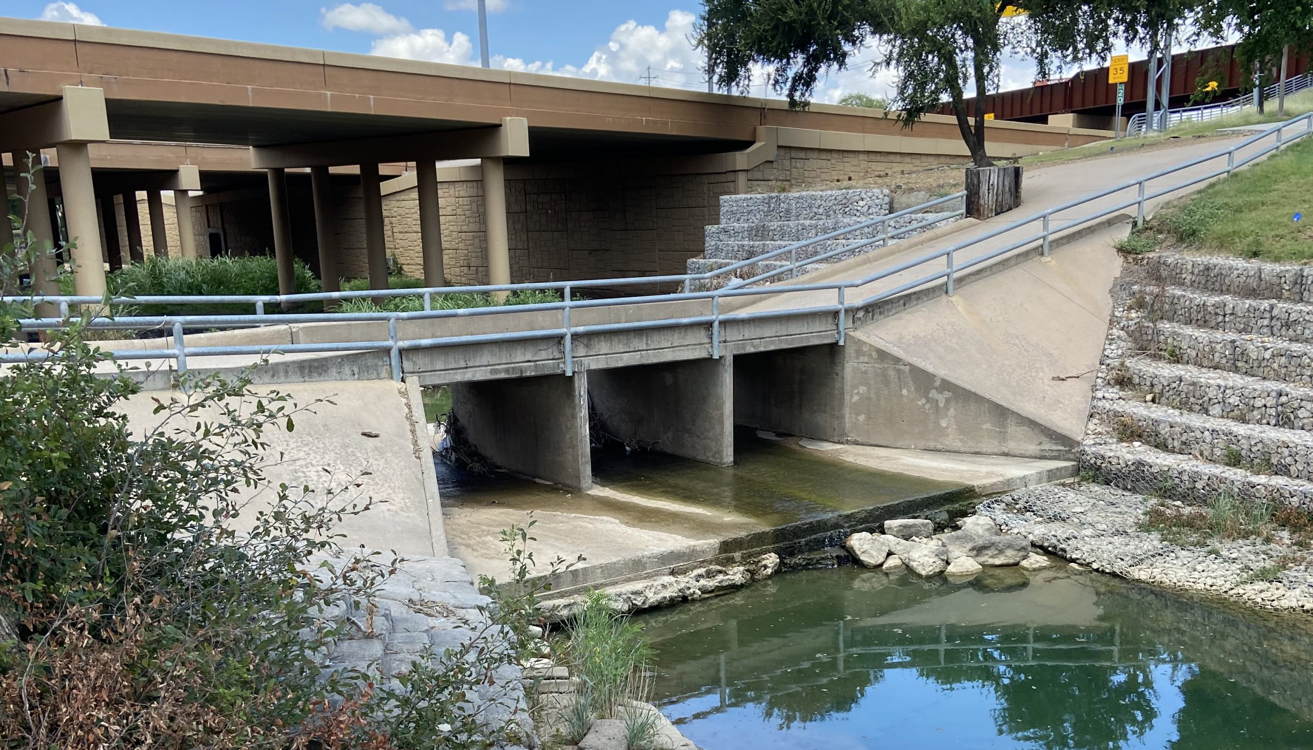
- 2,000 feet of Singing Hills Creek, from IH 820 to Big Fossil Creek
We obtained hydraulic models for Big Fossil Creek from the City of Fort Worth and FEMA, then reviewed and compared them, deciding to use the City’s model as the Best Available Model for our analysis. The hydraulic model required significant modifications to model the breach conditions, including converting the model to unsteady flow, adding reaches, and adding multiple lateral weirs to simulate a breach. In addition, we modeled three dam breach scenarios including a Sunny Day Breach, Barely Overtopping Breach, and Design Flood Breach.
Due to the location of the dam just upstream of the confluence of two waterways, Singing Hills Creek and Big Fossil Creek, the impact of a dam breach from a Barely Overtopping breach event are minimal. The highway itself and a golf course maintenance building are the only structures at risk. In a design flood, there are also two apartment buildings at risk of flooding from a breach.

It is required by TCEQ that the dam owner and local office of emergency management approve an Emergency Action Plan. It is vitally important for all participating agencies to understand and agree with the plan and exercise the plan on a regular basis in order for them to efficiently implement the appropriate response in an emergency situation.
Ruth Haberman, PE, Project Manager
K Friese + Associates (KFA)
Project Results
KFA provided the required documentation to file with TCEQ, including the Dam Breach Report, Dam Safety Plan, and Emergency Action Plan. Impacted stakeholders – including Haltom City Fire Department, TxDOT Design Division, TxDOT Fort Worth District, TxDOT Emergency Management Division, and TCEQ – were included in the process to ensure a consistent response and documentation.


