TxDOT IH 45 Drainage Impact Study
Creating Drainage Solutions for Freeway Reconstruction in Galveston County
Project Purpose
IH 45 serves as a hurricane evacuation route for Galveston County. IH 45 in the vicinity of Dickinson Bayou experienced significant flooding during Hurricane Harvey in 2017. To improve its safety and performance, TxDOT raised the frontage road and mainlane profiles to withstand flooding impacts from storm events.
-
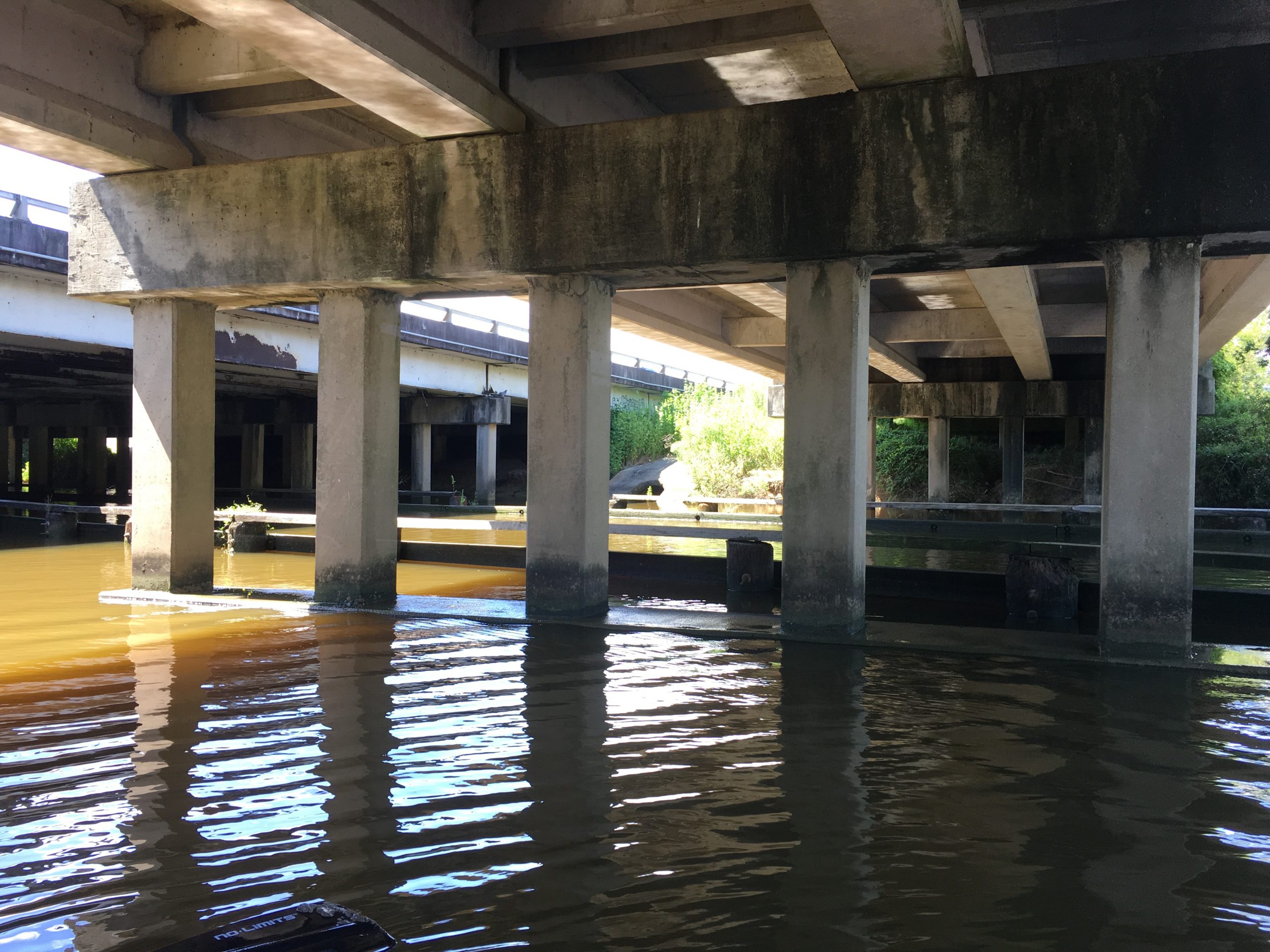
- SOURCE: The Texas Department of Transportation (TxDOT). LOCATION: IH 45 Northbound Access Bridge at Dickinson Bayou
-
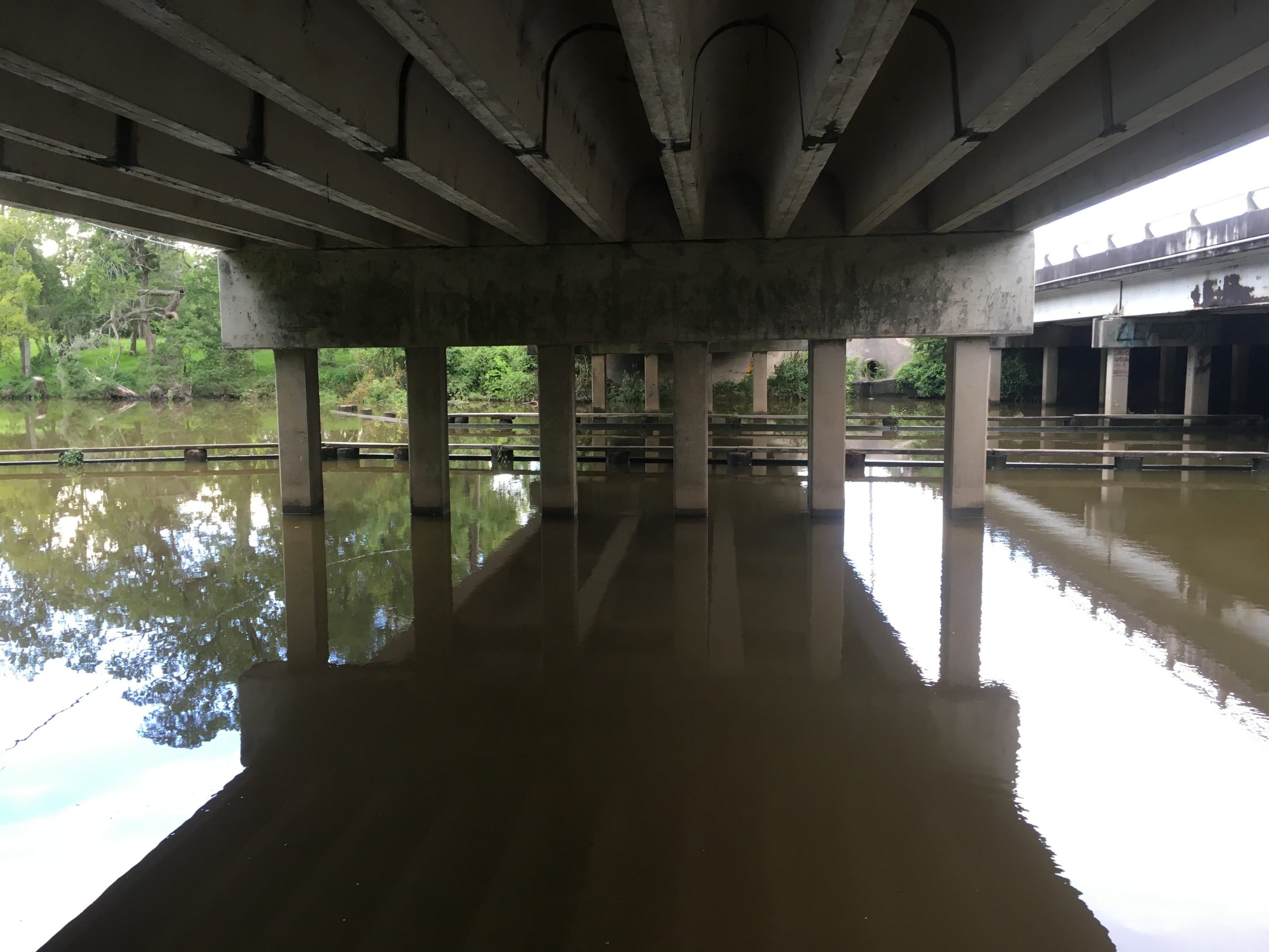
- SOURCE: The Texas Department of Transportation (TxDOT). LOCATION: IH 45 Southbound Access Bridge at Dickinson Bayou
Project Approach
KFA provided culvert analysis, preliminary storm sewer trunk line design, and water surface elevations for the preliminary Drainage Impact Study. The IH 45 improvements to be analyzed included adding a mainlane in each direction, replacement of the bridge structures over Dickinson Bayou, replacement of a culvert at Metzler Gully, replacement of a culvert at an unnamed tributary to Dickinson Bayou, and replacement of a culvert at Ditch 6A to Moses Bayou, and construction of new detention ponds and storm sewer. KFA analyzed the effects of the roadway widening and replacement of the referenced bridge and culvert structures, and determined the mitigation needs as a result of the improvements.
For the analysis, KFA obtained the best available HEC-HMS and HEC-RAS models for the three existing cross culverts, and updated the models to reflect current existing conditions. We then analyzed the models using FHWA HY-8 to determine upstream and downstream water surface elevations. These elevations were used by TxDOT to set the minimum elevations for the proposed frontage road design. Our team also developed a preliminary storm sewer trunk line design using Geopak Drainage.
Project Results
KFA’s design was incorporated into a SWMM model that was developed by another consultant on the project team to connect with proposed detention ponds and ditches. TxDOT used the preliminary design from the Drainage Impact Study to fully develop a PS&E package for the project.